Climate Change and Environmental data with Google Earth and Google Maps
Sponsors
<-- Google Earth Free Tools
<-- Google Earth & Maps Resources
<-- Free GIS Shapefile Downloads
<-- Free World Shapefile Downloads
<-- Free GIS Software & Tools
<-- Free Global, Regional, State, City Maps
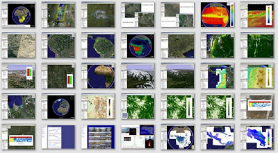
Kings College London - Climate change and environmental data with Google Earth and Google Maps. The datasets are developed by members of the EMM Research Group acting as project lead or collaborator. These databases serve static or dynamically updated downloadable datasets for use in a variety of geo-spatial applications.
Much of the spatial data is visualised and downloadable through a Google Earth or Google Maps interface. Region-based network links are used so zoom in to your area of interest to visualise the data. Links are also provided for downloading the raw data in simple formats for use in GIS or remote sensing systems.
These are public domain environmental data aimed at improving the information (raw and visualised) available to the scientific and conservation communities. The data are freely accessible to all for non-commercial use.
Visit the Kings College London website
About Quality, Accuracy and Suitability
This data, software, resources and tools may come from a variety of government and non-government sources. While we try to assure the quality, accuracy and suitability of this material, we cannot promise that it is. We do promise that using the resources available may be fun, entertaining or educational - perhaps agravating as well. We make no guarantee as to its suitability for any purpose or its accuracy. We assume no liability or responsibility your use. You are free to use it in any manner that you like. Please understand that you use these resources at your own risk with no guarantee whatsoever on our part.
Didn't find what you are looking for? We've been online since 1996 and have created 1000's of pages. Search below and you may find just what you are looking for.
Michael R. Meuser
Data Research & GIS Specialist
MapCruzin.com is an independent firm
specializing in GIS project development and data research.
We created the first U.S. based
interactive toxic chemical facility
maps on the internet in 1996 and we
have been online ever since. Learn more about us and our services.
Have a project in mind? If you have data, GIS project or custom shapefile needs contact Mike.
Contact Us
Report Broken Links
Subscribe for Updates
Sponsors
<-- Google Earth Free Tools
<-- Google Earth & Maps Resources
<-- Free GIS Shapefile Downloads
<-- Free World Shapefile Downloads
<-- Free GIS Software & Tools
<-- Free Global, Regional, State, City Maps
| 


