Download Free Vietnam Maps
<-- Free Map Downloads
<-- Free World Country Map Downloads
Sponsors
Note that maps may not appear on the webpage in their full size and resolution. To save the maps to your computer, right-click on the link.
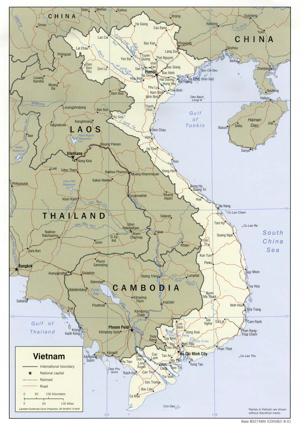
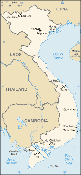
Vietnam (Political) 2001 (208K) and
pdf format (214K)
Vietnam (Political) 1992 (189K)and
pdf format (202K)
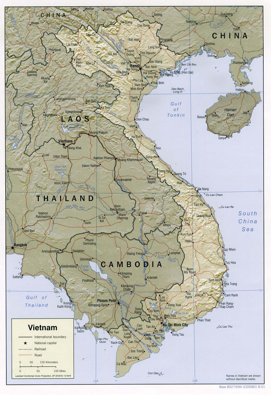
Vietnam (Shaded Relief) 2001 (258K) and
pdf format (261K)
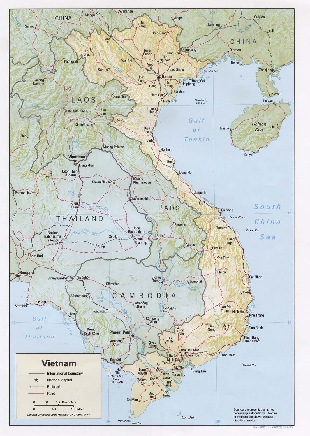
Vietnam (Shaded Relief) 1992 (233K) and
pdf format (241K)
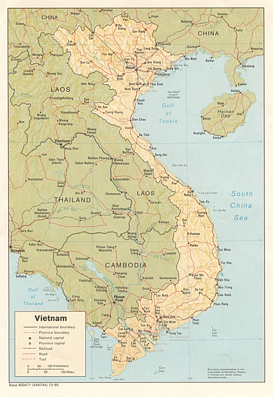
Vietnam (Shaded Relief) 1985 (296K) and
pdf format (299K)
Vietnam (Small Map) 2008 (21K)
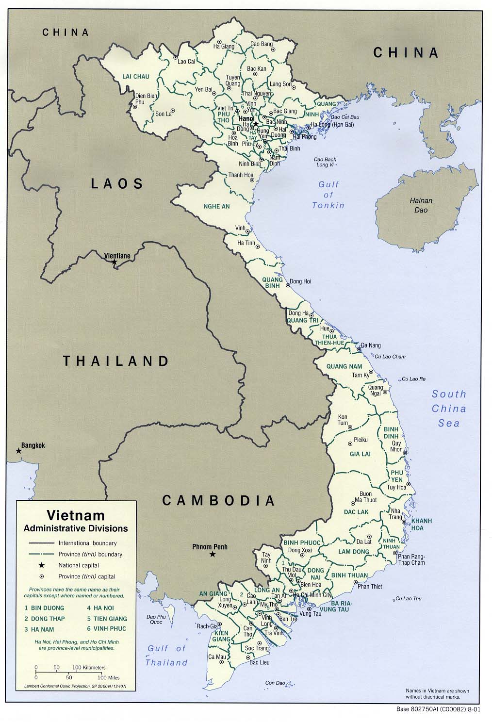
Vietnam: Administrative Divisions 2001 (187K) and
pdf format (194K)
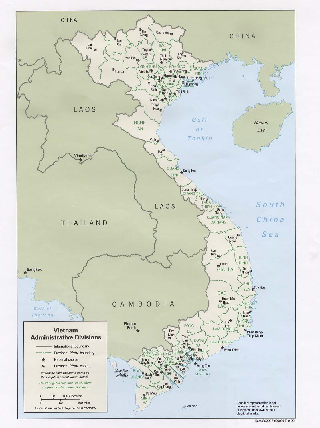
Vietnam: Administrative Divisions 1992 (139K) and
pdf format (142K)
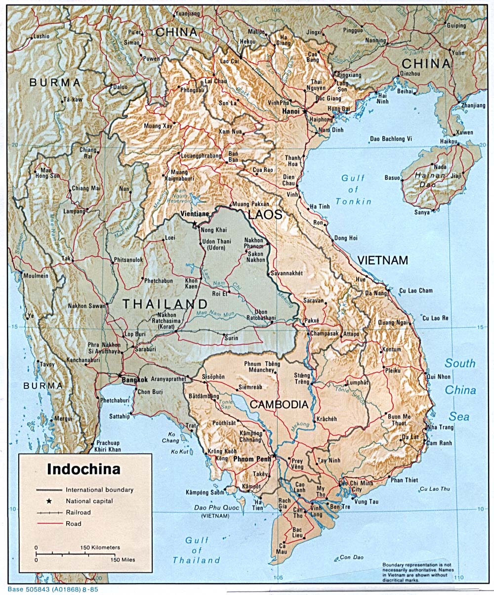
Indochina (Shaded Relief) 1985 (342K)
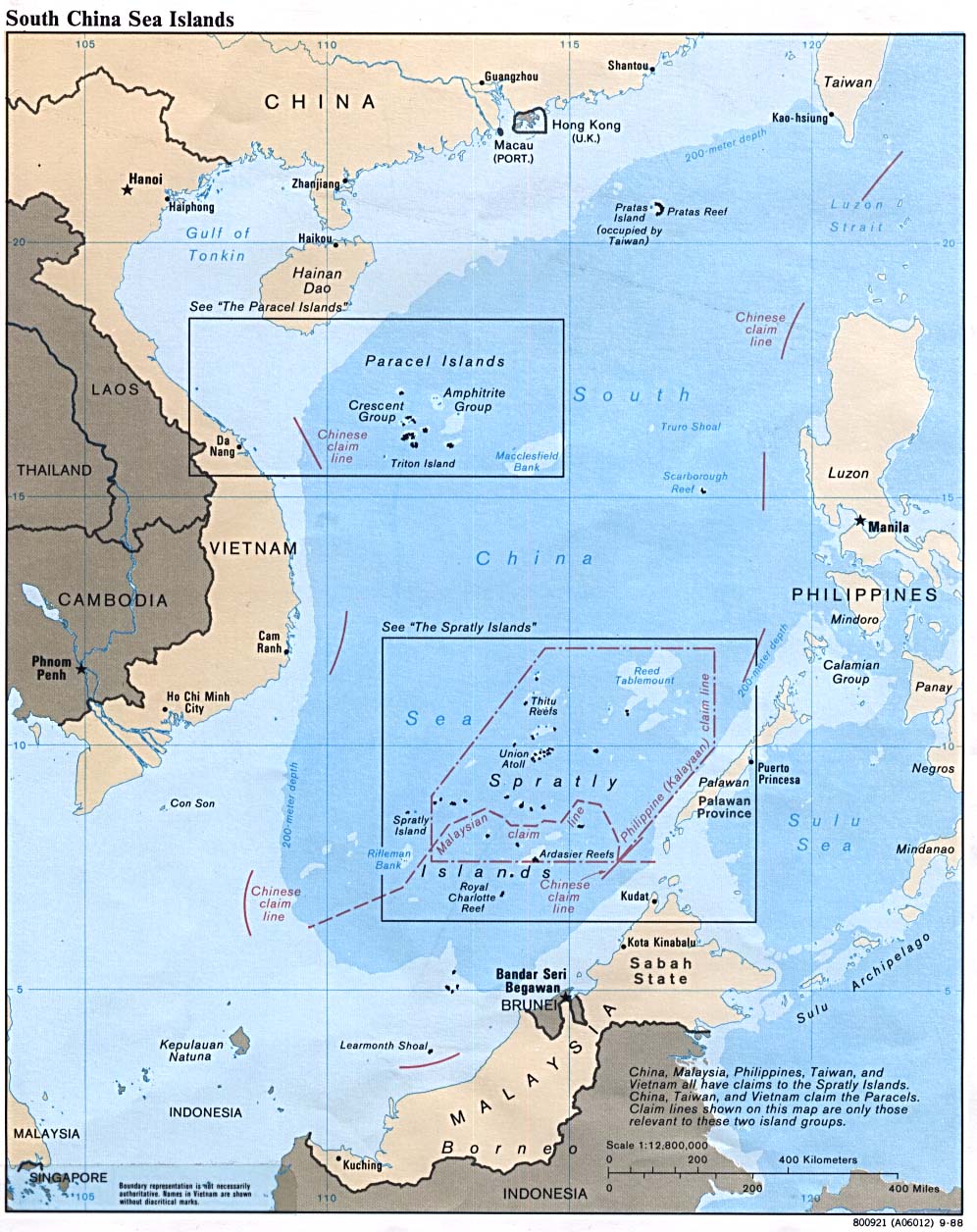
South China Sea (Islands) 1988 (229K)
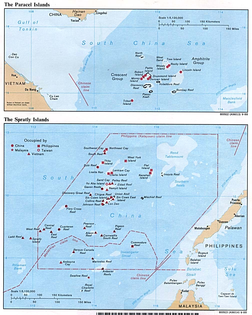
Spratly and Paracel Islands 1988 (229K)
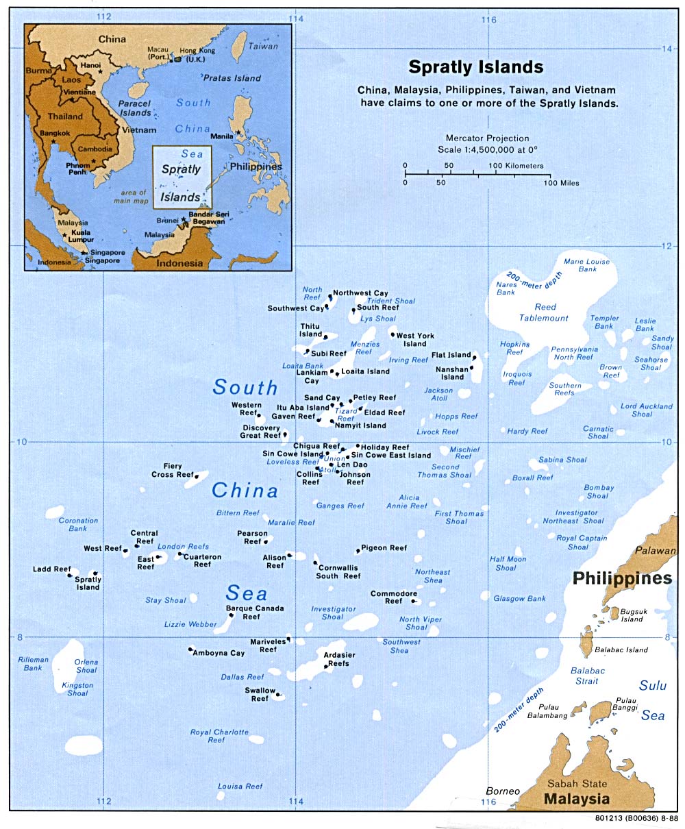
Spratly Islands 1995 (218K)
Spratly Islands 1988 (223K)
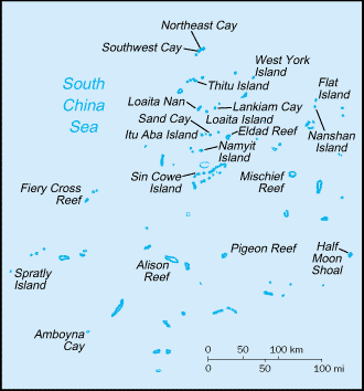
Spratly Islands (Small Map) 2008 (9K)
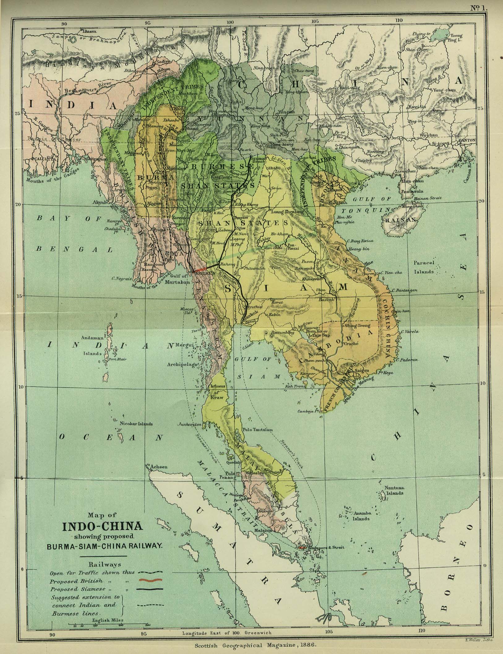
Indo-China 1886 "Map of Indo-China showing proposed Burma-Siam-China Railway" from the Scottish Geographical Magazine. Published by the Scottish Geographical Society and edited by Hugh A. Webster and Arthur Silva White. Volume II, 1886. (533K)
Indochina Ethnolinguistic Groups From Indochina Atlas, 1970 (654K)
Vietnam [South] - Economic Activity from Map No. 500874 1972 (140K)
Vietnam [South] - Ethnic Groups from Map No. 500874 1972 (174K)
Vietnam [South] - Land Utilization and Vegetation from Map No. 500874 1972 (174K)
Vietnam [South] - Population from Map No. 500874 1972 (146K)
Sources: These maps were provided by the University of Texas Library and/or
the U.S. Central Intelligence Agency (CIA) unless otherwise noted.
Maps on other websites
Vietnam (Asia Travel)
Vietnam (Lonely Planet)
Vietnam - Maps (A Virtual Visit to Vietnam)
<-- Free Map Downloads
<-- Free World Country Map Downloads
Sponsors
Didn't find what you are looking for? We've been online since 1996 and have created 1000's of pages. Search below and you may find just what you are looking for.
Michael R. Meuser
Data Research & GIS Specialist
MapCruzin.com is an independent firm
specializing in GIS project development and data research.
We created the first U.S. based
interactive toxic chemical facility
maps on the internet in 1996 and we
have been online ever since. Learn more about us and our services.
Have a project in mind? If you have data, GIS project or custom shapefile needs contact Mike.
Contact Us
Report Broken Links
Subscribe for Updates


![Vietnam [South] - Economic Activity](/free-maps-vietnam/south_vietnam_econ_1972.jpg)
![Vietnam [South] - Ethnic Groups](/free-maps-vietnam/south_vietnam_ethnic_1972.jpg)
![Vietnam [South] - Land Utilization and Vegetation](/free-maps-vietnam/south_vietnam_land_1972.jpg)
![Vietnam [South] - Population](/free-maps-vietnam/south_vietnam_pop_1972.jpg)