Download Free Historical Avian Flu Maps
Sponsors
<-- Free Maps Download
<-- Free Historical Maps
2008 Maps:
Confirmed Human Cases of Avian Influenza (European Commission)
Global Impact of Bird Flu (BBC News)
How Bird Flu Has Spread (BBC News) [Flash]
Interactive Bird Flu Map (PBS/Online News Hour) [Flash]
Nations With Confirmed Cases H5N1 Avian Influenza (Pandemicflu.gov)
Tracking Avian Flu (Wall Street Journal) [Flash]
World: Avian Influenza Maps (WHO/ReliefWeb)
2007 Maps
World: Areas Reporting Confirmed Occurrence of H5N1 Avian Influenza in Poultry and Wild Birds since 1 July 2007 (as of 29 Nov 2007) (WHO/ReliefWeb)
World: Areas Reporting Confirmed Occurrence of H5N1 Avian Influenza in Poultry and Wild Birds since 2003 (as of 29 Nov 2007) (WHO/ReliefWeb)
2006 Maps:
Google Earth Avian Flu Maps, updated 10 December 2006 (Declan Butler) [Google Earth]
HPAI Outbreaks (FAO)
[Africa] Avian Flu Disease Monitoring - Africa (European Commission, Joint Research Centre) [Flash]
[Asia] H5N1 Killer Flu - Maps (PBS/Wide Angle)
[Asia] Outbreaks of Avian Influenza (A/H5N1) in Animals and Man Reported from Asia since December 2003 through 11 January 2006 [no longer updated] (European Commission)
[Europe] Avian Flu Disease Monitoring, 2006 - Europe (European Commission, Joint Research Centre) [Flash]
[North America] Waterfowl Flyways of North America (Pandemicflu.gov)
[Scotland] Swan Tests Confirm Deadly Virus, April 6, 2006 (BBC News)
[Turkey] Avian Flu Disease Monitoring, 2006 - Turkey (European Commission, Joint Research Centre) [Flash]
[Turkey] H5N1 Cases in Turkey, January 9, 2006 - Scroll down for map (BBC News)
2005 Maps:
Bird Flu Outbreaks in 2005 (H5N1 Strain) (BBC News)
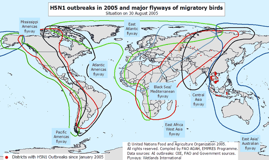
H5N1 Outbreaks in 2005 and Major Flyways of Migratory Birds (Copyright Food and Agriculture Organization)
Human Deaths From Bird Flu, 20 October 2005 (BBC News)
[Asia] Avian Influenza - Areas of Concern, July 25th 2005 (ReliefWeb)
[Asia] Avian Influenza - Assessing the Pandemic Threat, April 2005 (ReliefWeb)
[Asia] Human H5N1 in Asia [animated GIF] (WHO)
[Asia] H5N1 Outbreaks in 2005 and Poultry Density (Food and Agriculture Organization/Internet Archive)
2004 Maps:
Avian Influenza in China, 2004 (World Organisation for Animal Health/Web Archive)
[Asia] Avian Influenza Maps for Asia [many maps] (EMPRES/Web Archive)
<-- Free Maps Download
<-- Free Historical Maps
About Quality, Accuracy and Suitability
 These GIS software tools, programs and resources come from a variety of U.S.
government and private
sources. While we try to assure the accuracy of
this material, we cannot promise that it is
absolutely accurate. We do promise that using what you find here will be fun, entertaining or educational - perhaps even frustrating.
Beyond this, we make no guarantee as to its
suitability for any purpose. We assume no liability
or responsibility for errors or inaccuracies. Please
understand that you use these tools, programs and resources at your own
risk.
These GIS software tools, programs and resources come from a variety of U.S.
government and private
sources. While we try to assure the accuracy of
this material, we cannot promise that it is
absolutely accurate. We do promise that using what you find here will be fun, entertaining or educational - perhaps even frustrating.
Beyond this, we make no guarantee as to its
suitability for any purpose. We assume no liability
or responsibility for errors or inaccuracies. Please
understand that you use these tools, programs and resources at your own
risk.
Thanks,
Didn't find what you are looking for? We've been online since 1996 and have created 1000's of pages. Search below and you may find just what you are looking for.
Michael R. Meuser
Data Research & GIS Specialist
MapCruzin.com is an independent firm
specializing in GIS project development and data research.
We created the first U.S. based
interactive toxic chemical facility
maps on the internet in 1996 and we
have been online ever since. Learn more about us and our services.
Have a project in mind? If you have data, GIS project or custom shapefile needs contact Mike.
Contact Us
Report Broken Links
Subscribe for Updates
Sponsors


![[North America] Waterfowl Flyways of North America (Pandemicflu.gov)](https://www.pandemicflu.gov/images/flywayNorthAmerica.jpg)
![[Asia] Human H5N1 in Asia [animated GIF] (WHO)](https://www.wpro.who.int/NR/rdonlyres/39B9E32E-5DC4-4023-A8EE-79F86F326D21/0/aimap_20051020.gif)
![[Asia] H5N1 Outbreaks in 2005 and Poultry Density (Food and Agriculture Organization/Internet Archive)](https://web.archive.org/web/*/http://www.fao.org/ag/againfo/foto/poultry-south-asia.gif)