StatPlanet: Amazing Software for Creating Interactive Maps and Graphs for Websites
Sponsors
<-- Free GIS Software & Resources
Amazing free software! Every once in awhile a truly great free GIS product shows up and Statplanet is the best I've seen for making flash-based interactive maps and graphs for websites. Easily add your tabular data or shapefiles to the maps.
Sponsors
Here's a little blurb from their website:
What is StatPlanet
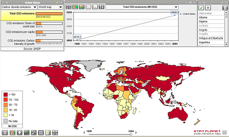
StatPlanet is a browser-based interactive data visualization and mapping application. Use it to easily and rapidly create basic interactive Flash maps as well as feature-rich infographics.
Who is using StatPlanet
StatPlanet is used by many different kinds of organizations including UN agencies, Fortune 500 companies, government departments, NGOs, schools and universities.
StatPlanet in Education
StatPlanet can be downloaded as a stand-alone application and used as free educational software. It comes with up-to-date world statistics in the categories shown below.
I can't wait to get started building some for MapCruzin.com
Visit the StatPlanet Website.
Sponsors
<-- Free GIS Software & Resources
See Also:
Free ArcGIS Shapefiles, Free Maps, Google Earth & Maps, Free GPS, Satellite and Aerial, GIS Tutorials.
Didn't find what you are looking for? We've been online since 1996 and have created 1000's of pages. Search below and you may find just what you are looking for.
Michael R. Meuser
Data Research & GIS Specialist
MapCruzin.com is an independent firm
specializing in GIS project development and data research.
We created the first U.S. based
interactive toxic chemical facility
maps on the internet in 1996 and we
have been online ever since. Learn more about us and our services.
Have a project in mind? If you have data, GIS project or custom shapefile needs contact Mike.
Contact Us
Report Broken Links
Subscribe for Updates
| 


