Free U.S. 250K 1:250000 TOPO Maps Beginning with "N"
Sponsors
<-- Return To Free U.S. 250K TOPO Maps
<-- Return To Free TOPO Map Downloads
<-- Return To Download Free Maps
Go to TOPO Maps beginning with -
A -
B -
C -
D -
E -
F -
G -
H -
I -
J -
K -
L -
M -
"N" -
O -
P -
Q -
R -
S -
T -
U -
V -
W -
X -
Y -
Z
These maps are unavailable. We are redoing the Free U.S. 250K 1:250000 TOPO Maps. Thanks for your patience.
Beautiful high resolution scans of original U.S. topographic maps. HINT: These can be loaded into the free GeoView. These are very large highly detailed high resolution images.
Alaska 250K Topo Index (1.9 MB)
United States 250K Topo Index (1.9 MB)
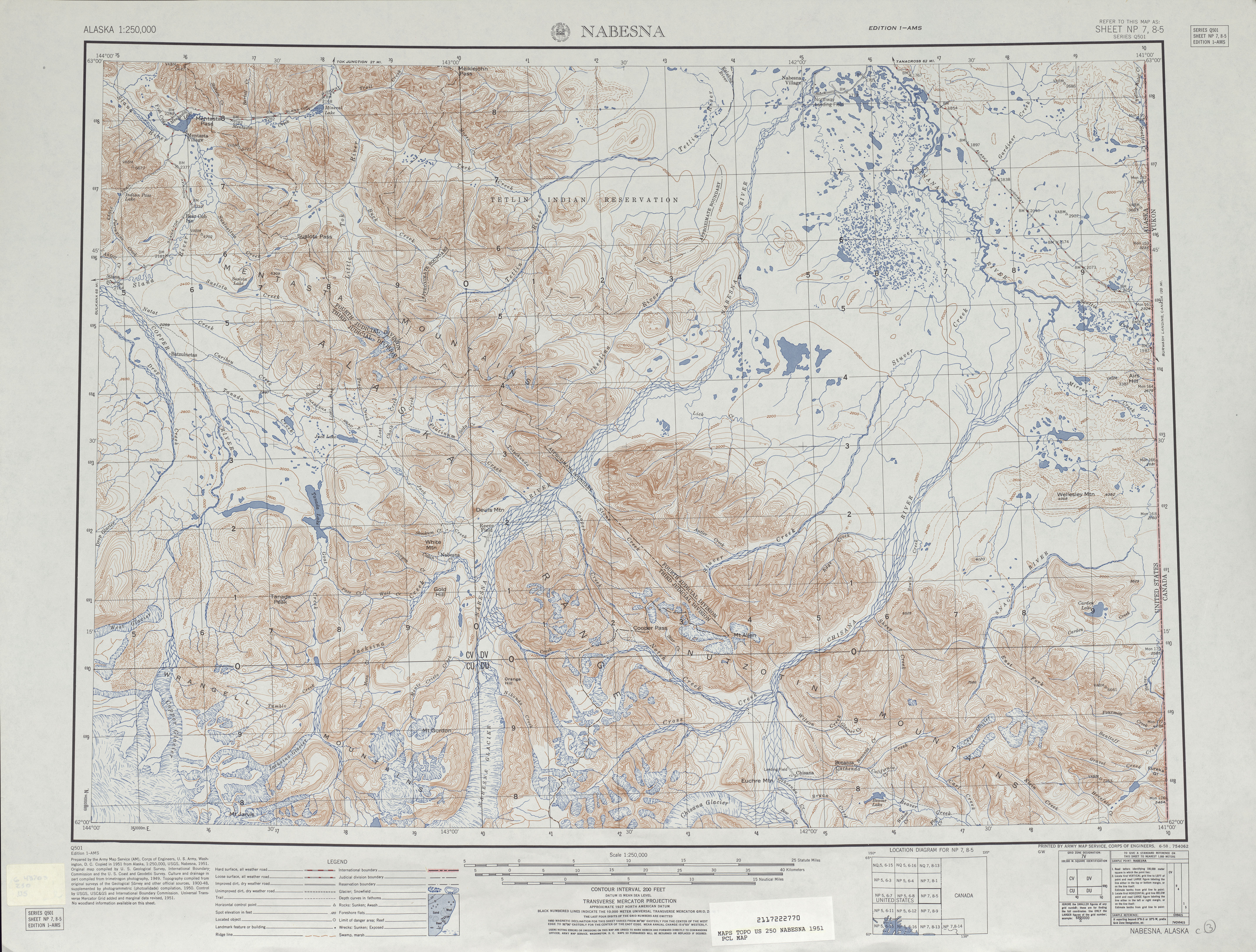
Nabesna 1951 (7.9 MB)
Nabesna 1960 (6.2 MB)
Nabesna 1982 (8.6 MB)
Naknek 1952 (4.4 MB)
Naknek 1981 (5.3 MB)
Naknek 1988 (5.4 MB)
Nashville 1956 (10.6 MB)
Nashville 1969 (10.0 MB)
Natchez 1953 (9.5 MB)
Natchez 196 (9.9 MB)
Nebraska City 1955 (9.9 MB)
Nebraska City 1967 (9.8 MB)
Needles 1949 (6.6 MB)
Sponsors
Needles 1963 (8.4 MB)
Needles 1969-a (6.3 MB)
Needles 1969 (9.9 MB)
New Orleans 1949 (8.6 MB)
New Orleans 1949[verso] (1.7 MB)
New Orleans 1979 (9.4 MB)
New Orleans 1979 [verso] (8.7 MB)
New Rockford 1952 (5.7 MB)
New Rockford 1971 (6.2 MB)
New Ulm 1953 (7.6 MB)
New Ulm 1967 (7.2 MB)
New York 1947 (7.9 MB)
New York 1947 [verso] (4.0 MB)
New York 1957 (4.9 MB)
New York 1969 (4.3 MB)
Newark 1947 (8.4 MB)
Newark 1947 [verso] (5.6 MB)
Newcastle 1962 (6.7 MB)
Noatak 1962 (6.7 MB)
Noatak 1969 (4.6 MB)
Noatak 1982 (7.1 MB)
Noatak 1987 (6.3 MB)
Nogales 1962 (6.2 MB)
Nogales 1969 (6.6 MB)
Nome 1950 (3.2 MB)
Sponsors
Nome 1955 (9.0 MB)
Norfolk 1963 (8.6 MB)
Norfolk 1969 (9.0 MB)
North Platte 1954 (8.4 MB)
North Platte 1967 (8.9 MB)
Norton Bay 1951 (6.8 MB)
Norton Bay 1955 (5.3 MB)
Norton Bay 1984 (7.9 MB)
Nulato 1952 (5.7 MB)
Nunivak Island 1951 (9.3 MB)
Nunivak Island 1954 (3.2 MB)
Nushagak Bay 1950 (6.4 MB)
Nushagak Bay 1965 (3.4 MB)
Nushagak Bay 1983 (5.1 MB)
Alaska 250K Topo Index (1.9 MB)
United States 250K Topo Index (1.9 MB)
Go to TOPO Maps beginning with -
A -
B -
C -
D -
E -
F -
G -
H -
I -
J -
K -
L -
M -
"N" -
O -
P -
Q -
R -
S -
T -
U -
V -
W -
X -
Y -
Z
<-- Return To Free U.S. 250K TOPO Maps
<-- Return To Free TOPO Map Downloads
<-- Return To Download Free Maps
Didn't find what you are looking for? We've been online since 1996 and have created 1000's of pages. Search below and you may find just what you are looking for.
Michael R. Meuser
Data Research & GIS Specialist
MapCruzin.com is an independent firm
specializing in GIS project development and data research.
We created the first U.S. based
interactive toxic chemical facility
maps on the internet in 1996 and we
have been online ever since. Learn more about us and our services.
Have a project in mind? If you have data, GIS project or custom shapefile needs contact Mike.
Contact Us
Report Broken Links
Subscribe for Updates


![New Orleans 1949[verso]](/download-topo-maps/txu-pclmaps-topo-us-new_orleans-1949-a.jpg)
![New Orleans 1979 [verso]](/download-topo-maps/txu-pclmaps-topo-us-new_orleans-1979-a.jpg)
![New York 1947 [verso]](/download-topo-maps/txu-pclmaps-topo-us-new_york-1947-a.jpg)
![Newark 1947 [verso]](/download-topo-maps/txu-pclmaps-topo-us-newark-1947-a.jpg)