Download Free Kentucky Maps
<-- Free Maps
<-- Free U.S. State Maps
<-- Free World Country Maps
See Also:
Topographic Maps
ArcGIS Shapefile Map Layers
Download or link to these maps for your reports, websites, research, projects, presentations...
Note that maps may not appear on the webpage in their full size and resolution. To save the maps to your computer, right-click on the link.
State Maps
Kentucky (base map) JPEG format (274K) County boundaries and names, county seats, rivers. Original scale 1:2,500,000 U.S. Geological Survey, 1972 limited update 1990
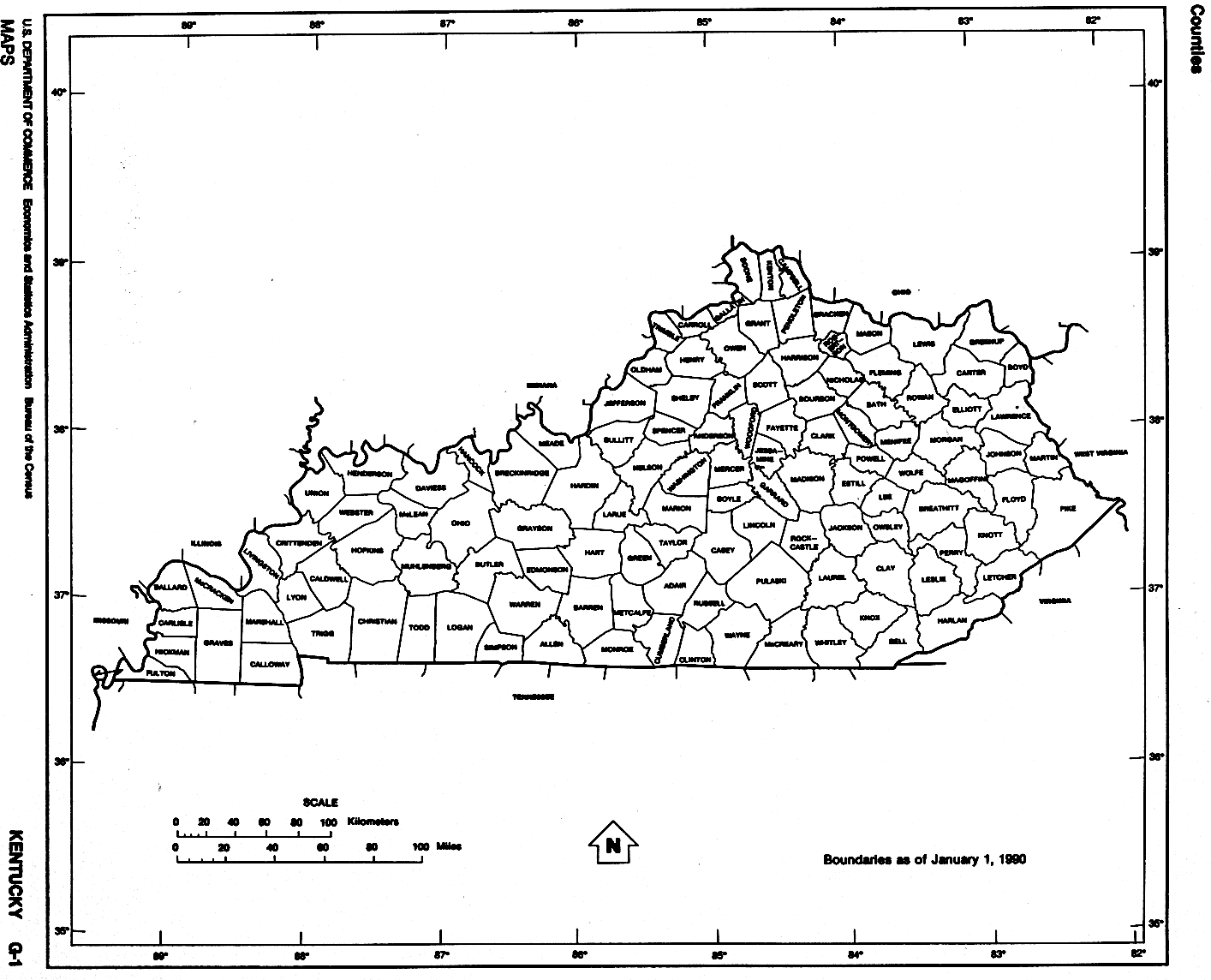
Kentucky (outline map) JPEG format (84K) County boundaries and names. U.S. Bureau of the Census, 1990
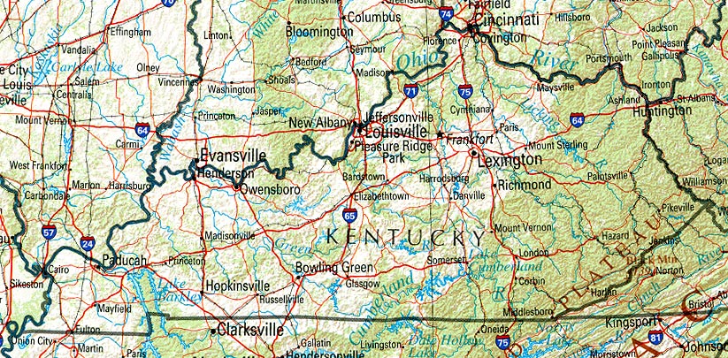
Kentucky (reference map) JPEG format (240K) Shaded relief map with state boundaries, forest cover, place names, major highways. Portion of "The National Atlas of the United States of America. General Reference", compiled by U.S. Geological Survey 2001, printed 2002
Kentucky (reference map) PDF format (242K) Shaded relief map with state boundaries, forest cover, place names, major highways. Portion of "The National Atlas of the United States of America. General Reference", compiled by U.S. Geological Survey 2001, printed 2002
Kentucky - Federal Lands and Indian Reservations PDF format (542K) The National Atlas of the United States of America, U.S. Geological Survey, 2003
Kentucky (outline map) U.S. Bureau of the Census 1990 (84K)
Kentucky (reference map) JPEG format (196K) Shaded relief map with state boundaries, forest cover, place names, major highways. Portion of "The National Atlas of the United States of America. General Reference", compiled by U.S. Geological Survey 2001, printed 2002
Kentucky (reference map) PDF format (148K) Shaded relief map with state boundaries, forest cover, place names, major highways. Portion of "The National Atlas of the United States of America. General Reference", compiled by U.S. Geological Survey 2001, printed 2002
City Maps
Bardstown (topographic) original scale 1:24,000 U.S.G.S. 1967, photorevised 1987 (774K)
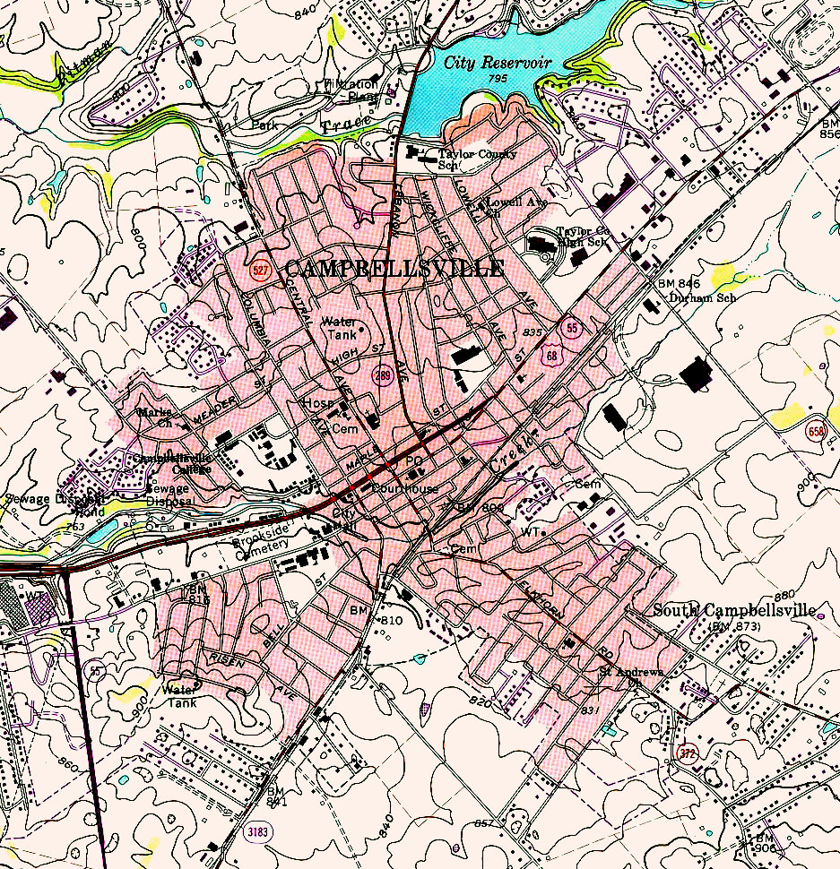
Campbellsville (topographic) original scale 1:24,000 U.S.G.S. 1970, photorevised 1987 (774K)
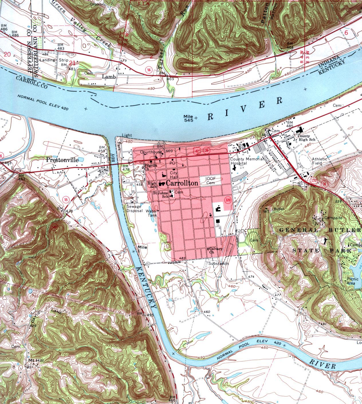
Carrollton (topographic) original scale 1:24,000 U.S.G.S. 1967, minor revision 1994 (645K)
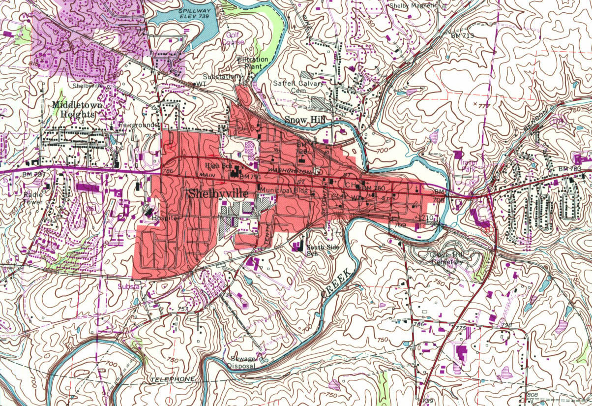
Shelbyville (topographic) original Scale 1:24,000 U.S.G.S. 1965, revised 1993 (516K)
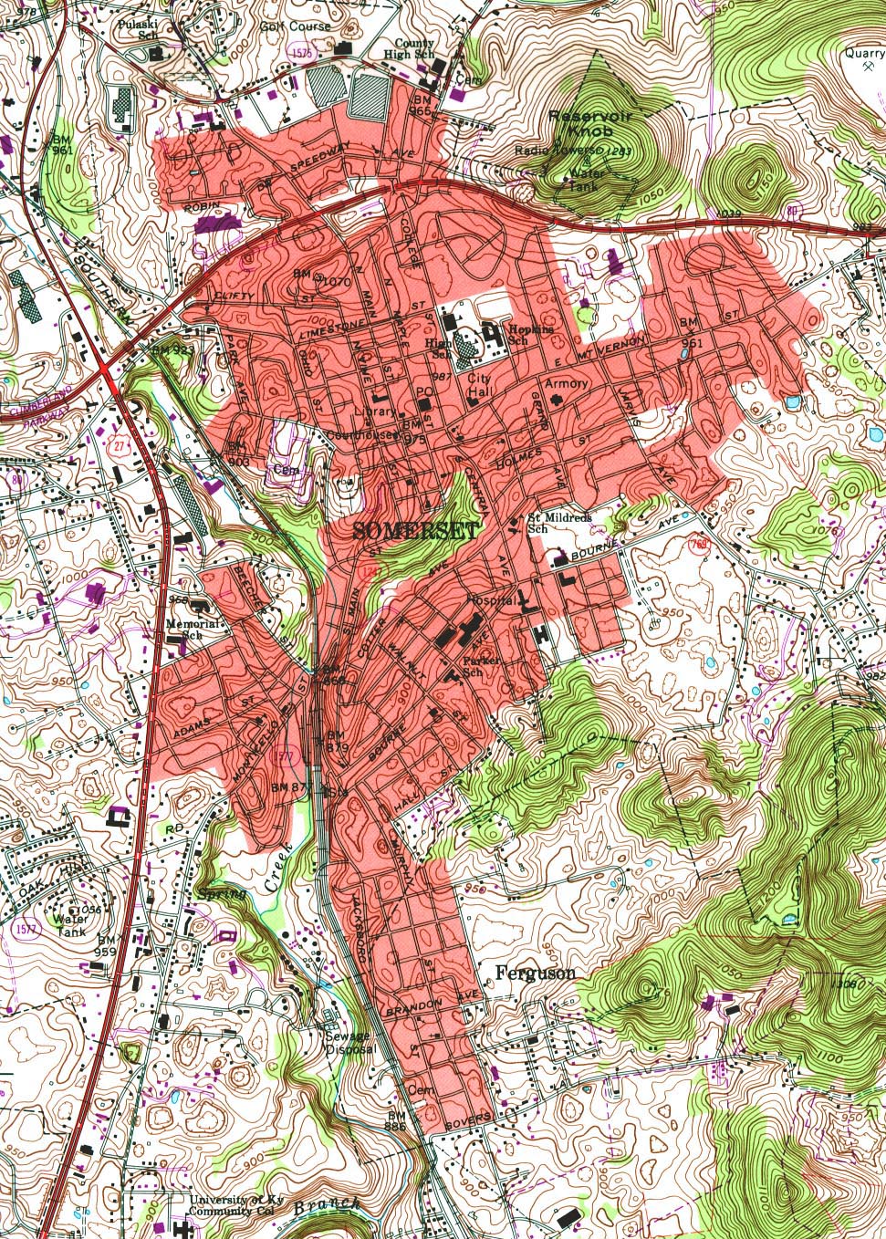
Somerset (topographic) original Scale 1:24,000 U.S.G.S. 1973, photorevised 1987 (710K)
Historical City Maps
Fulton 1922 Automobile Blue Book (113K)
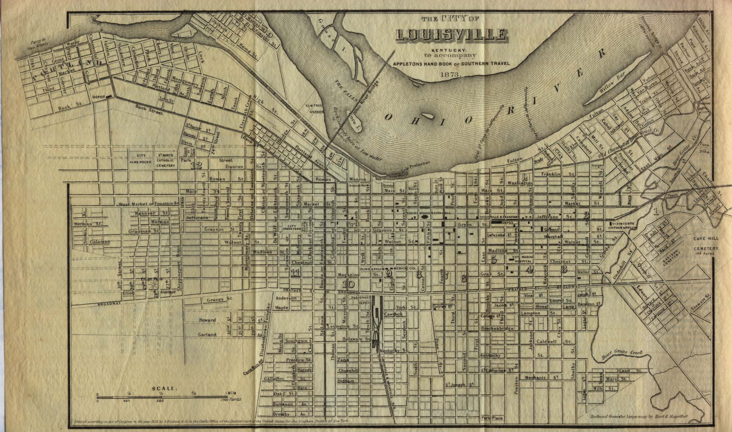
Louisville 1855 From Appletons' Hand-Book of American Travel, Southern Tour. Compiled and Edited by Charles H. Jones, 1873 (581K)
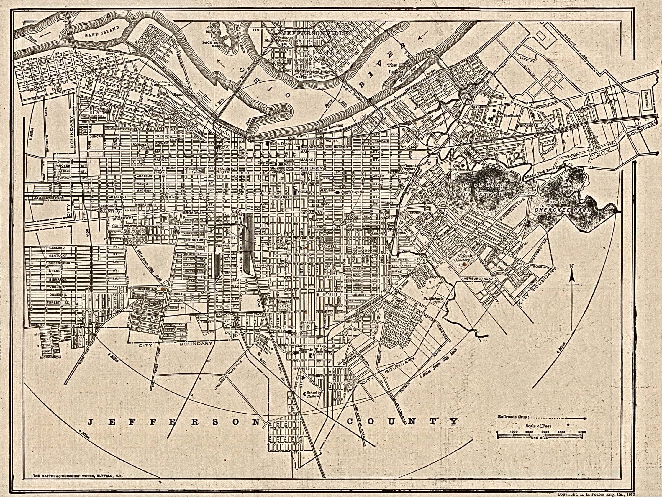
Louisville 1917 The New Encyclopedic Atlas and Gazetteer of the World. New York: P.F. Collier & Son. 1917 (1MB)
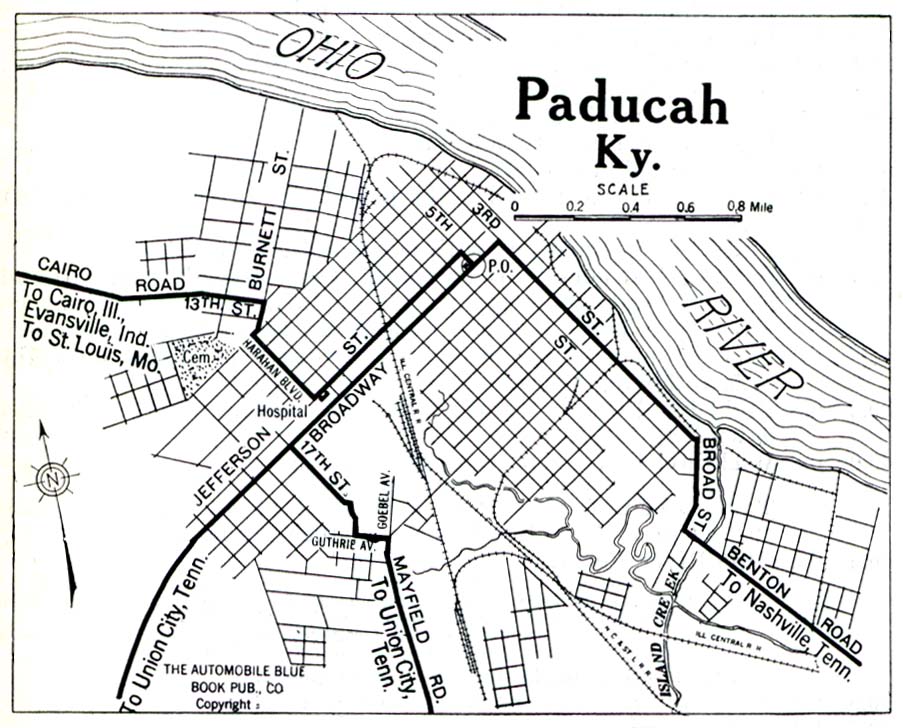
Paducah 1919 Automobile Blue Book (258K)
Maps of National Parks, Monuments, and Historic Sites
The following maps were produced by the U.S. National Park Service unless otherwise noted.
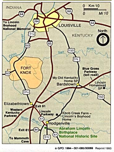
Abraham Lincoln Birthplace National Historic Site (Area Map) 1994 (58K)
Abraham Lincoln Birthplace National Historic Site (Area Map) 1997 (65K) (PDF Format)
Abraham Lincoln Birthplace National Historic Site (Park Map) 1997 (65K) (PDF Format)
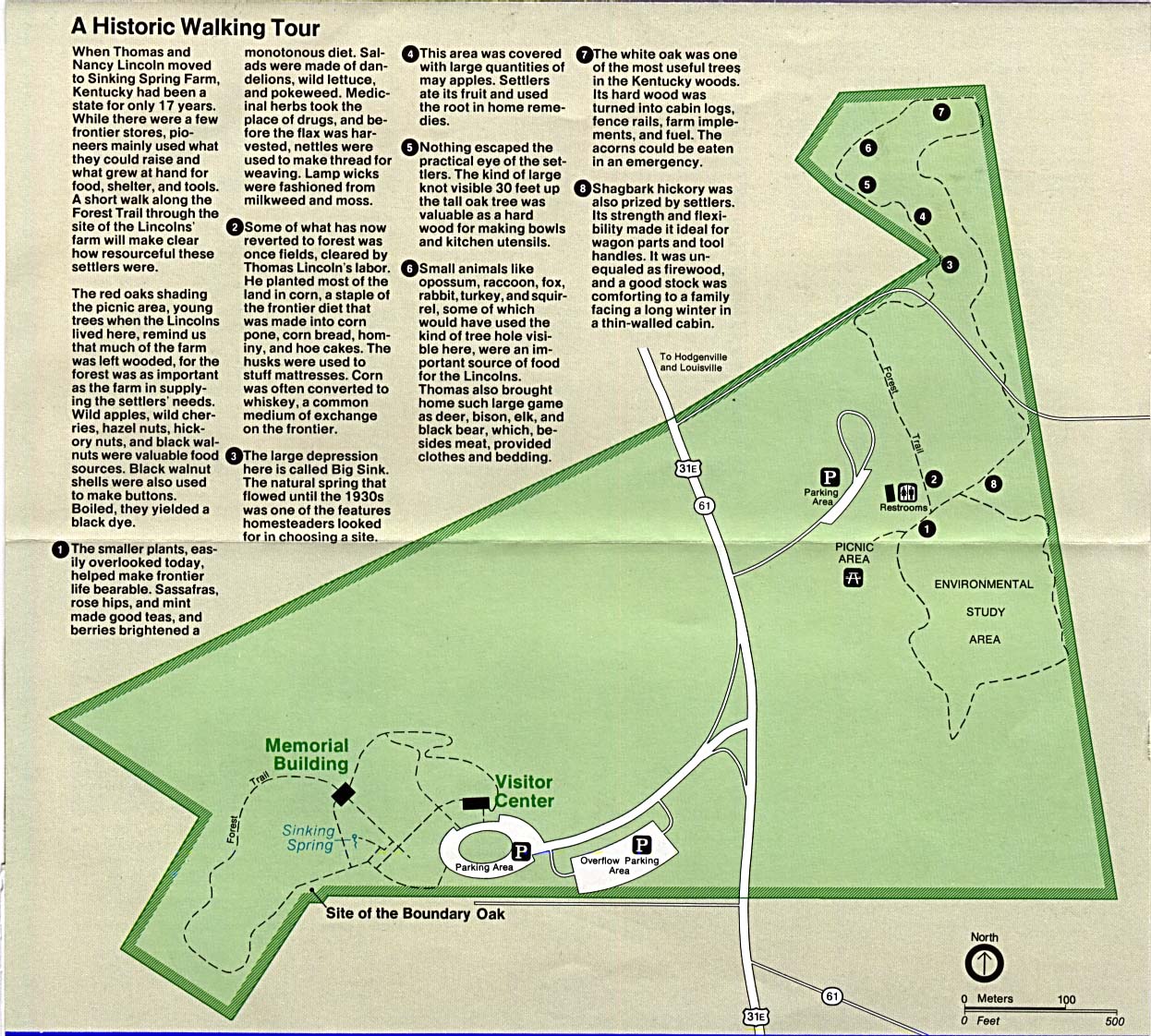
Abraham Lincoln Birthplace National Historic Site (Walking Tour Map) 1994 (336K)
Big South Fork National River and Recreation Area [Kentucky / Tennessee] (Park Map) 1997 (581K) (PDF Format)
Cumberland Gap National Historical Park [Kentucky / Tennessee / Virginia] (Park Map) 1999 (323K) (PDF Format)
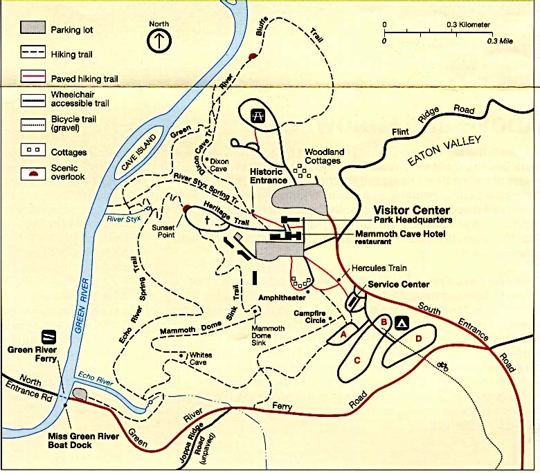
Mammoth Cave National Park (Detail Map) (122K)
Mammoth Cave National Park (Detail Map) 1999 (65K) (PDF Format)
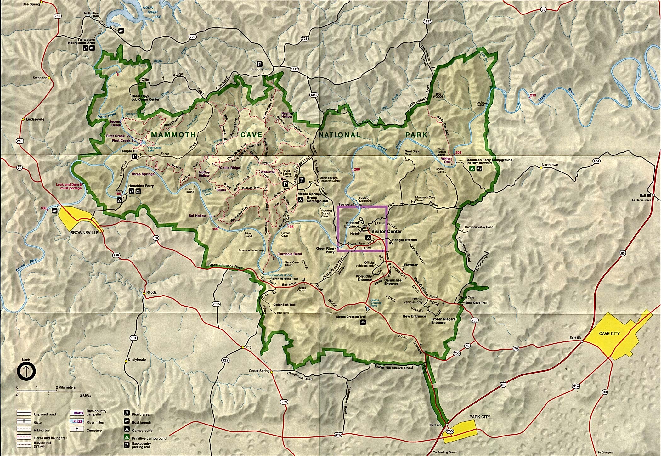
Mammoth Cave National Park (Park Map) (688K)
Mammoth Cave National Park (Park Map) 1999 (258K) (PDF Format)
Sources: Many of these maps were provided by the University of Texas Library and/or the U.S. Central Intelligence Agency (CIA).
Maps on other websites
Kentucky Atlas and Gazetteer
Kentucky - County Names (Census Bureau)
Kentucky Geographic Explorer (Kentucky Geographic Network)
Kentucky - Maps (Geology.com)
Kentucky - Road Map (World Sites Atlas)
Kentucky - Satellite Image (Geology.com)
Kentucky - Topographic Maps (Kentucky Geological Survey)
Kentucky - Topographic Maps (Libre Map Project)
See Also:
Topographic Maps
ArcGIS Shapefile Map Layers
<-- Free Maps
<-- Free U.S. State Maps
<-- Free World Country Maps
Didn't find what you are looking for? We've been online since 1996 and have created 1000's of pages. Search below and you may find just what you are looking for.
Michael R. Meuser
Data Research & GIS Specialist
MapCruzin.com is an independent firm
specializing in GIS project development and data research.
We created the first U.S. based
interactive toxic chemical facility
maps on the internet in 1996 and we
have been online ever since. Learn more about us and our services.
Have a project in mind? If you have data, GIS project or custom shapefile needs contact Mike.
Contact Us
Report Broken Links
Subscribe for Updates
Sponsors


