Download Free Oregon National Park and Historic Monument Maps
<-- Download Free Maps
<-- Free National Park Maps
Sponsors
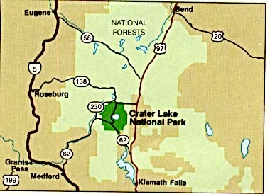
Crater Lake National Park (Area Map) (27K)
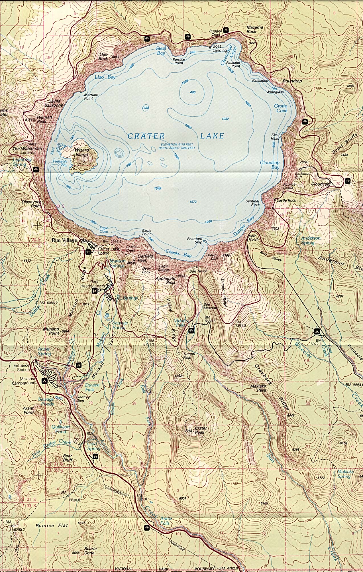
Crater Lake National Park (topographic) scale 1:62,500 U.S.G.S. 1988 (944K)
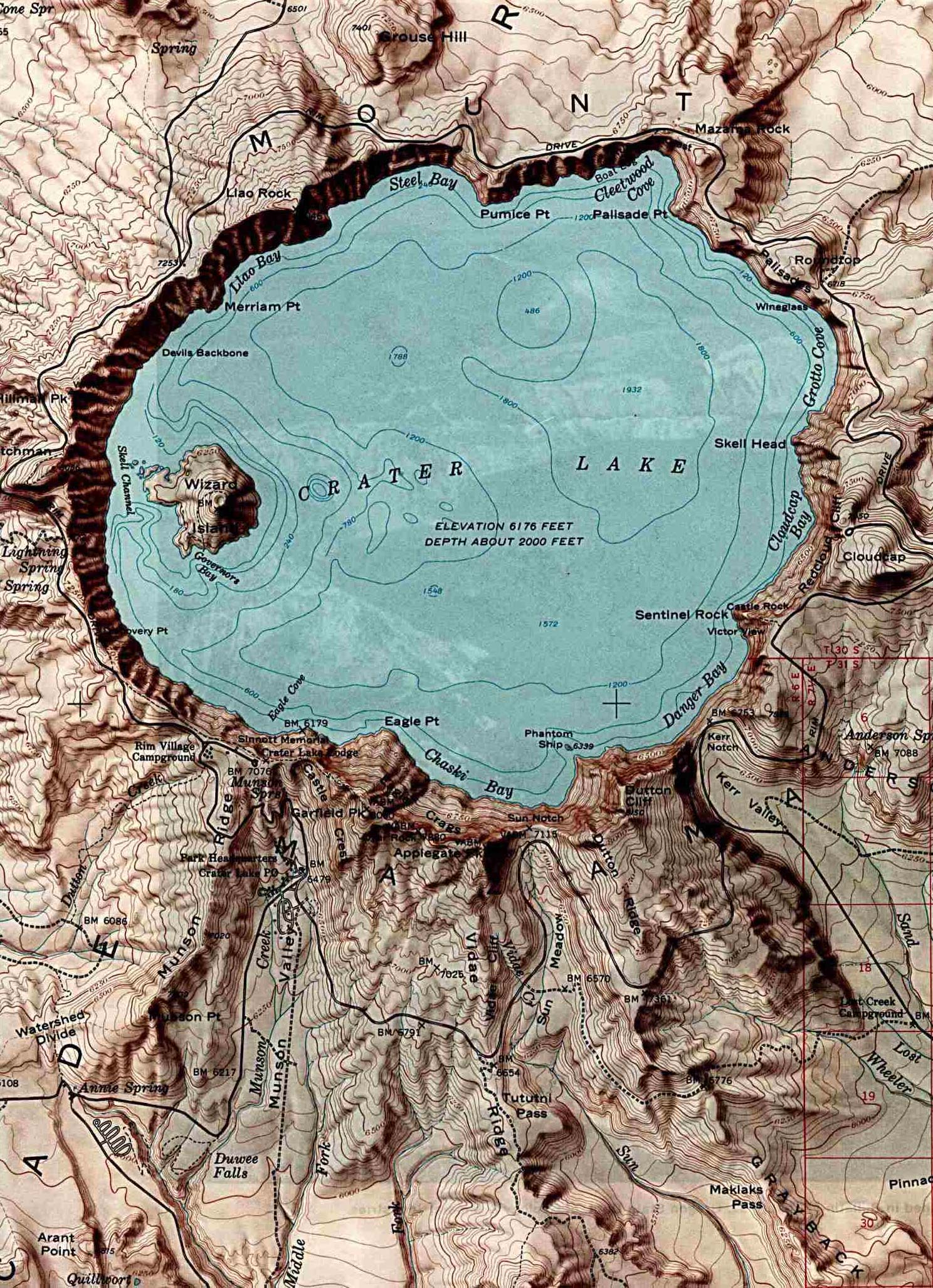
Crater Lake National Park (Shaded Relief Map) 1:62,500 U.S.G.S. 1984 (357K)
John Day Fossil Beds National Monument (Area Maps) 1999 (65K) (PDF Format)
Sponsors
John Day Fossil Beds National Monument - Clarno Unit (Park Map) 1999 (65K) (PDF Format)
John Day Fossil Beds National Monument - Painted Hills Unit (Park Map) 1999 (65K) (PDF Format)
John Day Fossil Beds National Monument - Sheep Rock Unit (Park Map) 1999 (65K) (PDF Format)
Nez Perce National Historical Park [Idaho / Montana / Oregon / Washington] (All Sites Map) 1997 (65K) (PDF Format)
<-- Download Free Maps
<-- Free National Park Maps
Didn't find what you are looking for? We've been online since 1996 and have created 1000's of pages. Search below and you may find just what you are looking for.
Michael R. Meuser
Data Research & GIS Specialist
MapCruzin.com is an independent firm
specializing in GIS project development and data research.
We created the first U.S. based
interactive toxic chemical facility
maps on the internet in 1996 and we
have been online ever since. Learn more about us and our services.
Have a project in mind? If you have data, GIS project or custom shapefile needs contact Mike.
Contact Us
Report Broken Links
Subscribe for Updates
Sponsors


